 |
 |
 |
 |
 |
 |
 |
 |
 |
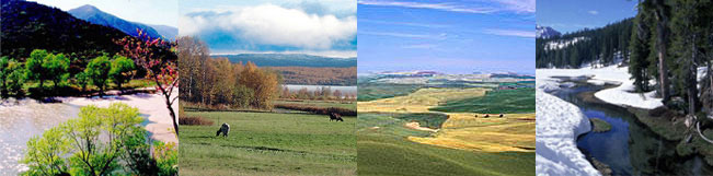
| Description Size (km2): approx. 5600 sq km (70x 80 km) Location: Norwegian - Russian border rectangle along the river Pasvik up to its estuary in the Barent Sea including the settlements of Kirkenes(N) and Nikel (RU) Overview Northern territories represent distinctive environmental
and social conditions. A cold climate and a very vulnerable countryside
and aquatic ecosystems distinguish the environment. Most of the people in the pilot area live in the Russian town Nikel with 30.000 inhabitants and in the Norwegian town Kirkenes with approx. 7.000 inhabitants. With the new political era, major changes are expected in the region regarding settlement, industrial activity, land use and the standard of living. This provides an opportunity for land use planning according to best-practice guidelines and safe-minimum standards of environmental regulation, while trying to minimize the costs of achieving the guidelines and standards. Among others, planning is needed to determine what kind of economic activities should be allowed at which locations in order to avoid an increase in transport of contaminants by river to the sea. New development and continuous pollution from old industry may pose a particular threat to those economic activities, which are most natural resource dependent in the area. At present, fish farming and fisheries constitute the most important economic activities at obvious risk to water pollution in the catchments. At present the economical basis in the region consists of industry, farming and fishing. Reindeer and grassland farming dominate the agricultural activity on the western side of the Iron Curtain. The area east of the Iron Curtain agriculture only plays a minor role. Forestry and fishing are the major export commodities from the region. In addition military activities have been important for employment after the Second World War. The water pollution of heavy metals from the smelter
and the pits represents only a small part of the total load to river
Kolosjoki. There is reason to believe that mine tailings also are
an important source of pollution. In addition to industrial wastes,
the Kolosjoki Stream and Kuetsyarvi receive 13 000 ton/year of domestic
sewage from the Nikel town. On the bank of the Pasvik River there
are a number of small Russian and Norwegian settlements generating
municipal wastes containing nutrients which accelerate the process
of eutrophication. In addition, high toxic organic matter has been
found in the river. |